Tartary - Muscovy
Content: text (51 symbols)
Uploaded: 30.11.2018
Positive responses: 0
Negative responses: 0
Sold: 8
Refunds: 0
Seller: Protohistory
information about the seller and its items
Loyalty discount! If the total amount of your purchases from the seller more than:
| $30 | the discount is | 10% |
| $50 | the discount is | 15% |
| $100 | the discount is | 20% |
| $200 | the discount is | 25% |
| $300 | the discount is | 30% |
| $400 | the discount is | 35% |
| $500 | the discount is | 40% |
| $1000 | the discount is | 50% |
$1.09
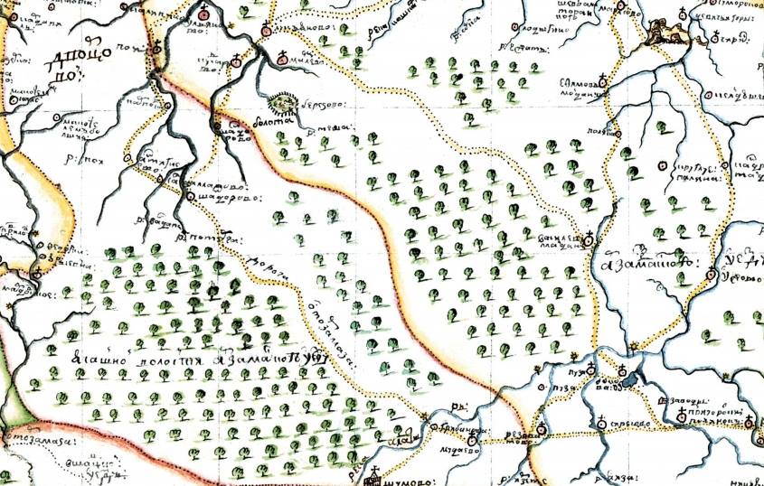
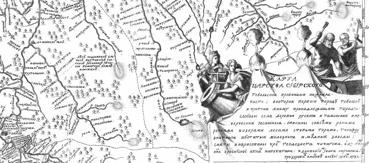
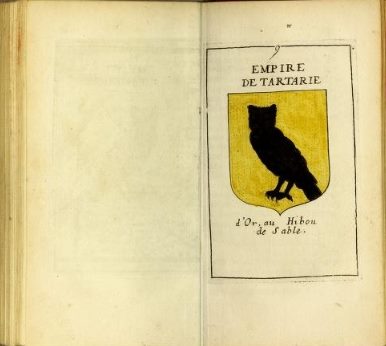
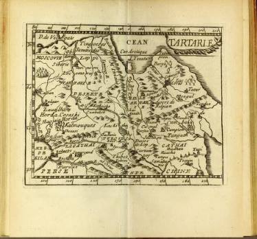
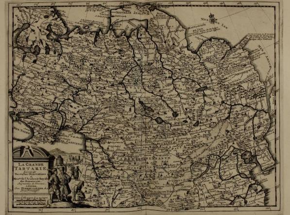
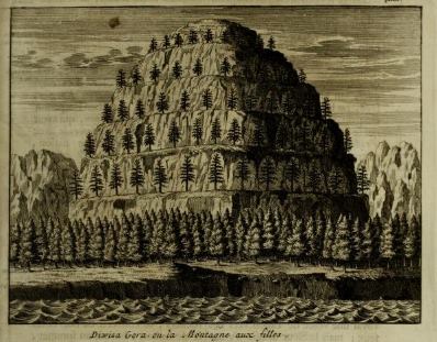
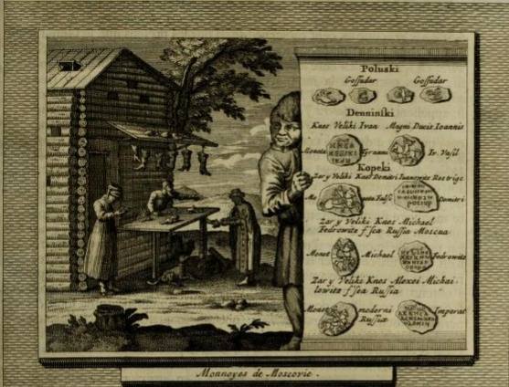
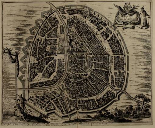
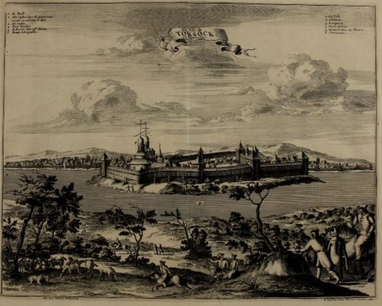

This publication will interest all those who are engaged in the study of the most mysterious historical period - the beginning of the 17th century. Until now, there are disputes about Muscovy and Tartaria, what and how was it? Supporters of Tartary give a lot of maps and references to history. Opponents parry that maps and stories written by foreigners "by hearsay". That is why we picked up a very interesting material: atlases published by Russian cartographers at the beginning of the 17th century and works based on real travels to Moscow and Tartaria. The selection includes 2 atlas published in the years 1722-1737. Scanned copies of atlases were taken from original sources and, in contrast to previously published reprints, they were not subjected to corrections and were notable for amazing detail. In fact, these are the first topographical maps of Russia and Tartaria. We received scan-copies of the originals of two excellent works describing Muscovy and Tartaria of that time, the great work of Oleariusa "Description of a trip to Muscovy, Tartaria and Persia" and the work of Duval Pierri "Geographical description of the main countries and states". Both of these books are listed with translation (the first one is full, the second is the part dedicated to Tartaria). The works were created in 1727 and 1776 on the basis of the authors´ personal travels and contain unique lithographs and descriptions.
No feedback yet